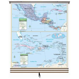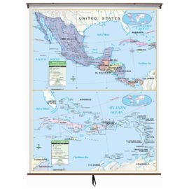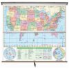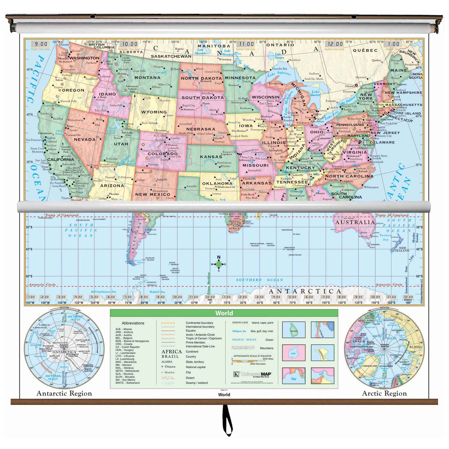
The US/World Essential Classroom Wall Map presents the Mercator projection and avoids splitting countries or landmasses. Includes special polar projections. National capitals and major cities are identified. Shaded relief highlights physical features of the continent.
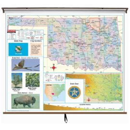
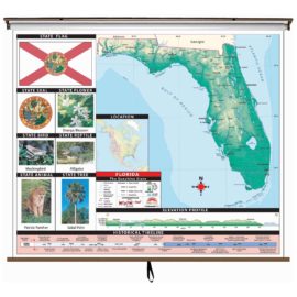
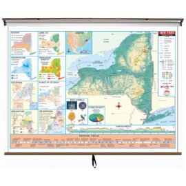
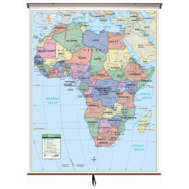
Wall map measures 54-in. x 69-in. and is mounted on roller; the Continent Essential Series features an enhanced legend and pictorial landform illustrations for intermediate level use. Also shows deserts & wetlands. The inset map locator illustrates the location of each continent in the world. Appropriate for grades 4-8.
This product is ideal for public, private, parochial, and home schools.