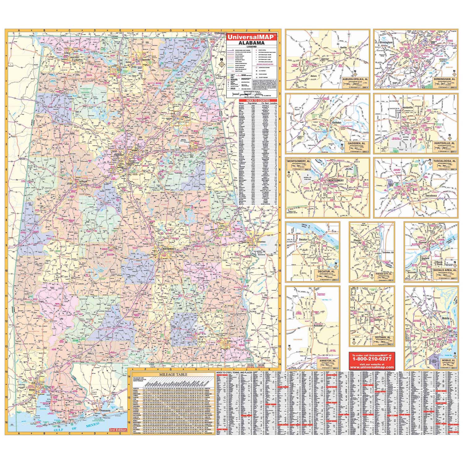
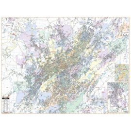
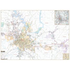
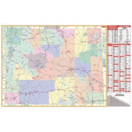
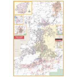
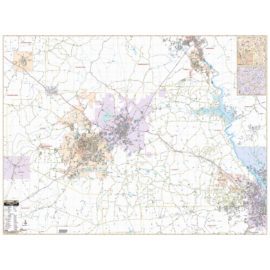
The Alabama State Wall Map measures 58-in. W x 54-in. H at a scale of 1-in. = 6 miles. Printed in color with a markable/washable-laminated surface. Features color-coded counties with counties, county seats, cities, towns, and places all indexed on the face of the map.
Details include all state and federal highways, major waterways, state universities, military installations, major airports, cities/towns, state parks, wildlife areas, exit numbers, mileage table, time zone boundaries, and points of interest.


Reviews
There are no reviews yet.