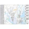
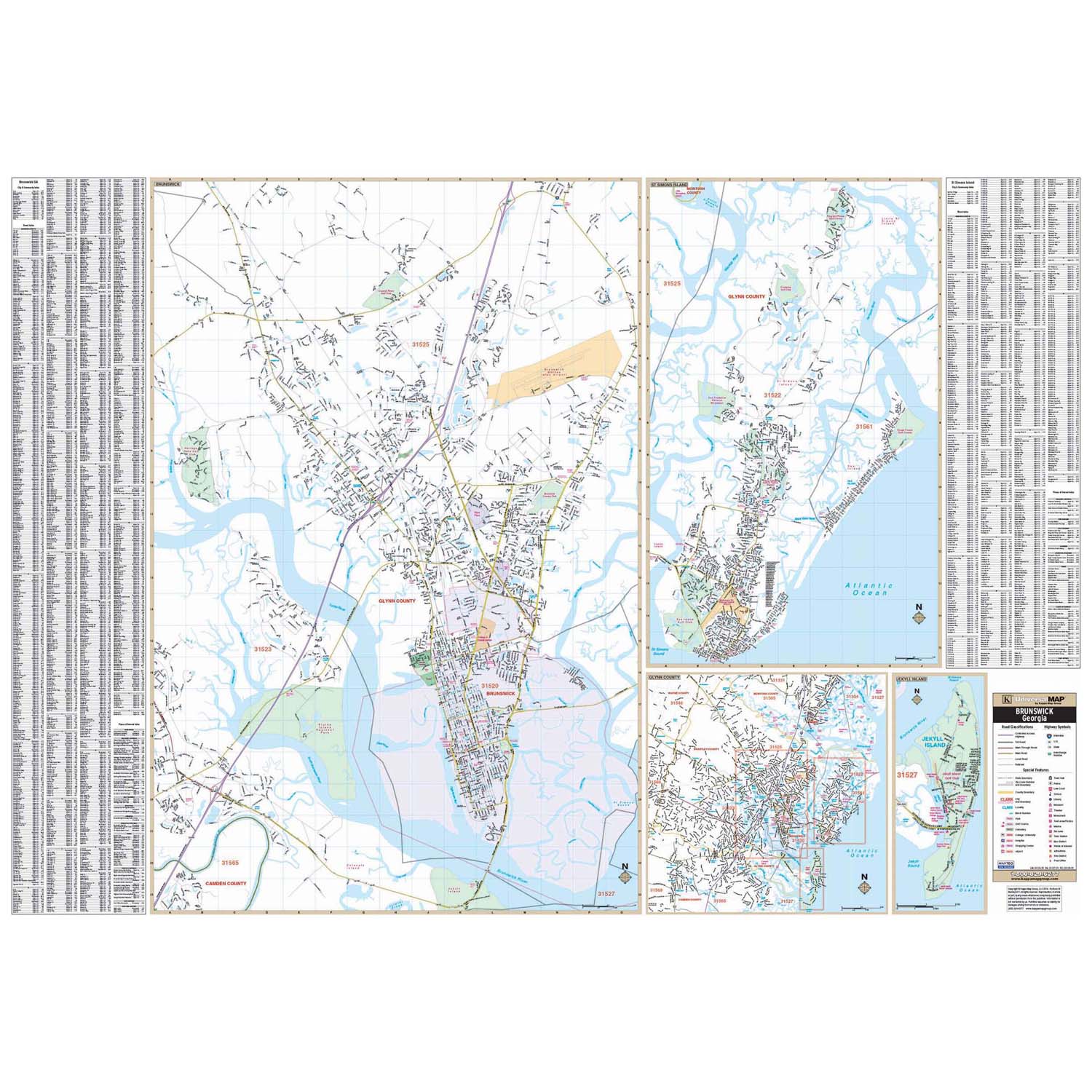
The Brunswick, Georgia Wall Map includes St. Simons Island and Jeckyll Island. Measures 67-in. W x 50-in. H (5-ft. 7-in. W x 4-ft. 2-in. H) using up-to date cartography in complete street detail with new streets and changes. Printed in color with a markable and washable laminated surface. Streets are indexed on the face of the map. Area of coverage is in three sections. Section I includes Brunswick, north to Hofwyl-Broadfield Plantation; south to South Brunswick River and Georgia Coast Guard Station; east to Little River; and west to Twin rivers and South Port. Section II includes St. Simons Island, north to Hampton Plantations; south to Lighthouse; east to Ocean Forest Golf Course; and west to Frederica River. Section III includes Jekyll Island with a Glynn County inset. Shows all city streets and highways, government buildings, airports, ZIP codes/boundaries, golf courses/country clubs, water features, street indexing, post offices, shopping centers, recreational parks, city limits/annexations, educational facilities, fire/police stations, hospitals, railroads, subdivision names, cemeteries, mileage circles, and more. Printed in color, laminated.
Brunswick GA Wall Map
$209.00 – $219.00
Extended Holiday Returns to January 15, 2024
- Map Coverage Type: City/County/Regional
- Map Size: 67" x 50", 67"w x 50"h
- Product Currency: Latest Edition
Description
Shipping & Returns
Orders $49+ qualify for FREE Shipping within the Continental USA learn more Shop now and get 30-Days or until January 15, 2024 to return and exchange items. learn more We extend the manufacturers warranty by 1 full year at no charge. learn more
Free Shipping
Extended Holiday Returns
Free 1-Year Extended Warranty
Map Options
This wall map may include one or more of the following mounting options. To determine the mounting options available see “Map Options” above. Use this guide to find the correct mounting for your needs.
Laminated Map: If this option is selected, you will receive a printed map with a laminate coating for use with dry/erase markers.
Top + Bottom Rails: Your laminated map will include top and bottom rails for stationary placement. The top rails include two hanging tabs. There is no pull strap required for this mounting.
Spring Roller: This option includes the laminated map attached to a spring roller in which the map may be pulled down into position or stored in a rolled-up position. The map will include a bottom rail with a pull strap for operation. This option includes two independent mounting brackets for either side of the roller.
Spring Roller + Backboard: When choosing this option your laminated map will be mounted to a spring roller with bottom rail and pull strap and will include a slim metal backboard. This option is preferred as the backboard can be mounted in any location to support the rolled map by using the independent 2-button mounting bracket, providing a sturdy mounting.
Note: The images provided for this product are for reference and may not show all options when an option is selected.
Map Ordering
Updatedness: One question we get most frequently is how up to date are your maps? The quick answer is that the map you purchase includes the latest database updates from the manufacturer. You will be receiving the most current edition available. If this item is a historical map, the datedness is as of the intended period.
Maps on Demmand: When your order for a World, USA, State, City, County, or Regional map, the map is printed on-demand, which allows for the most current version to be made available to you. This process will typically extend the lead time to ship as shown on the checkout page by 3 to 5 weeks.
Questions & Answers
Questions and answers of the customers
There are no questions yet. Be the first to ask a question about this product.