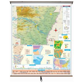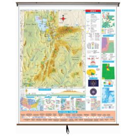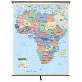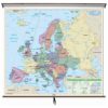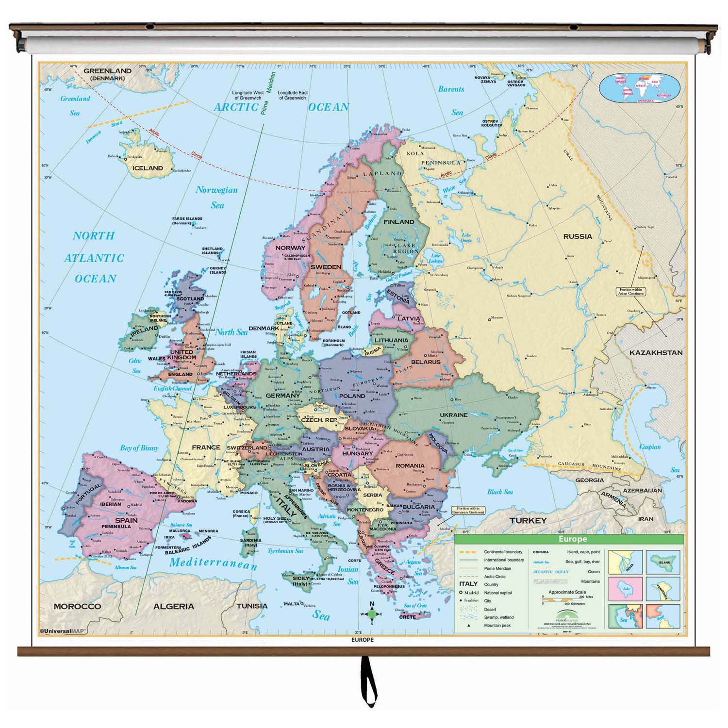
The Europe Essential Classroom Wall Map includes physical features and political boundaries, national capitals, cities, major waterways, and longitude/latitude lines; and all the European countries plus most of Russia, Iceland, Northern Africa, and northern Turkey. Shaded relief highlights physical features of the continent.
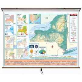
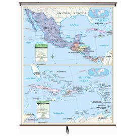
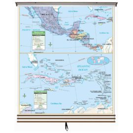
Wall map measures 54-in. x 69-in. and is mounted on roller; the Continent Essential Series features an enhanced legend and pictorial landform illustrations for intermediate level use. Also shows deserts & wetlands. The inset map locator illustrates the location of each continent in the world. Appropriate for grades 4-8.
This product is ideal for public, private, parochial, and home schools.