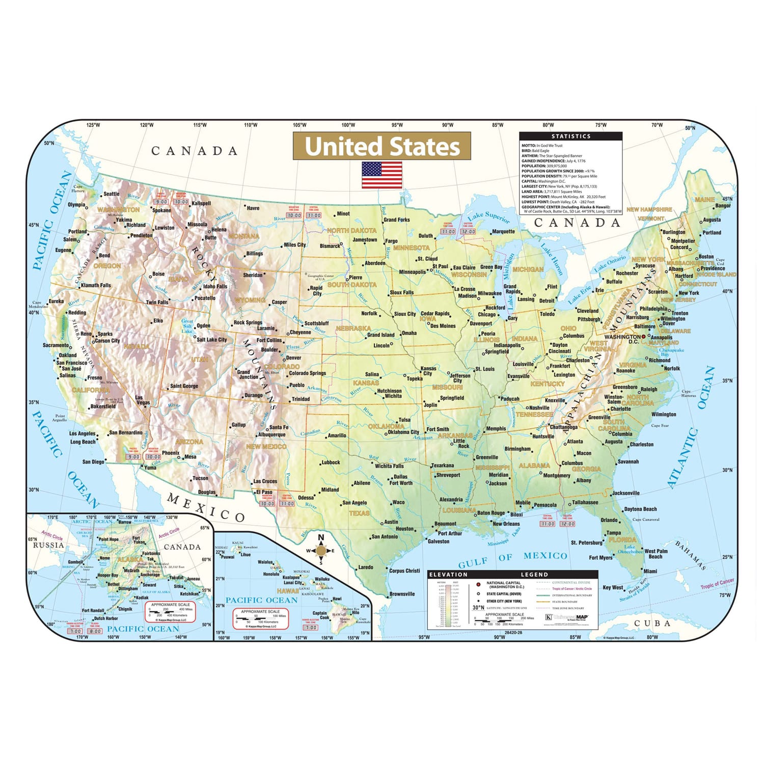
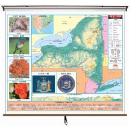
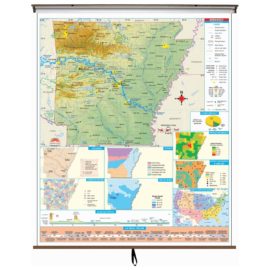
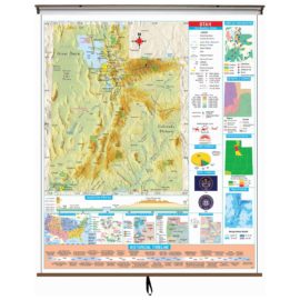
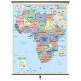
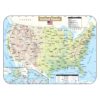
The United States Shaded Relief Topographical wall map provides historical, geographical, and anecdotal information, inset maps of Alaska and Hawaii, an elevation chart, symbols and names for the national capitol, state capitols, and major cities. Also shows international and state boundaries, the Continental Divide, time zones, and county boundaries.
US Shaded Relief Map
$19.95
Extended Holiday Returns to January 15, 2024
- Map Coverage Type: United States
- Map Size: 28"w x 38"h
- Product Currency: Latest Edition
Description
Shipping & Returns
Orders $49+ qualify for FREE Shipping within the Continental USA learn more Shop now and get 30-Days or until January 15, 2024 to return and exchange items. learn more We extend the manufacturers warranty by 1 full year at no charge. learn more
Free Shipping
Extended Holiday Returns
Free 1-Year Extended Warranty
Map Ordering
Updatedness: One question we get most frequently is how up to date are your maps? The quick answer is that the map you purchase includes the latest database updates from the manufacturer. You will be receiving the most current edition available. If this item is a historical map, the datedness is as of the intended period.
Maps on Demmand: When your order for a World, USA, State, City, County, or Regional map, the map is printed on-demand, which allows for the most current version to be made available to you. This process will typically extend the lead time to ship as shown on the checkout page by 3 to 5 weeks.
Questions & Answers
Questions and answers of the customers
There are no questions yet. Be the first to ask a question about this product.
Reviews (0)
Be the first to review “US Shaded Relief Map” Cancel reply
Only logged in customers who have purchased this product may write a review.
Reviews
There are no reviews yet.