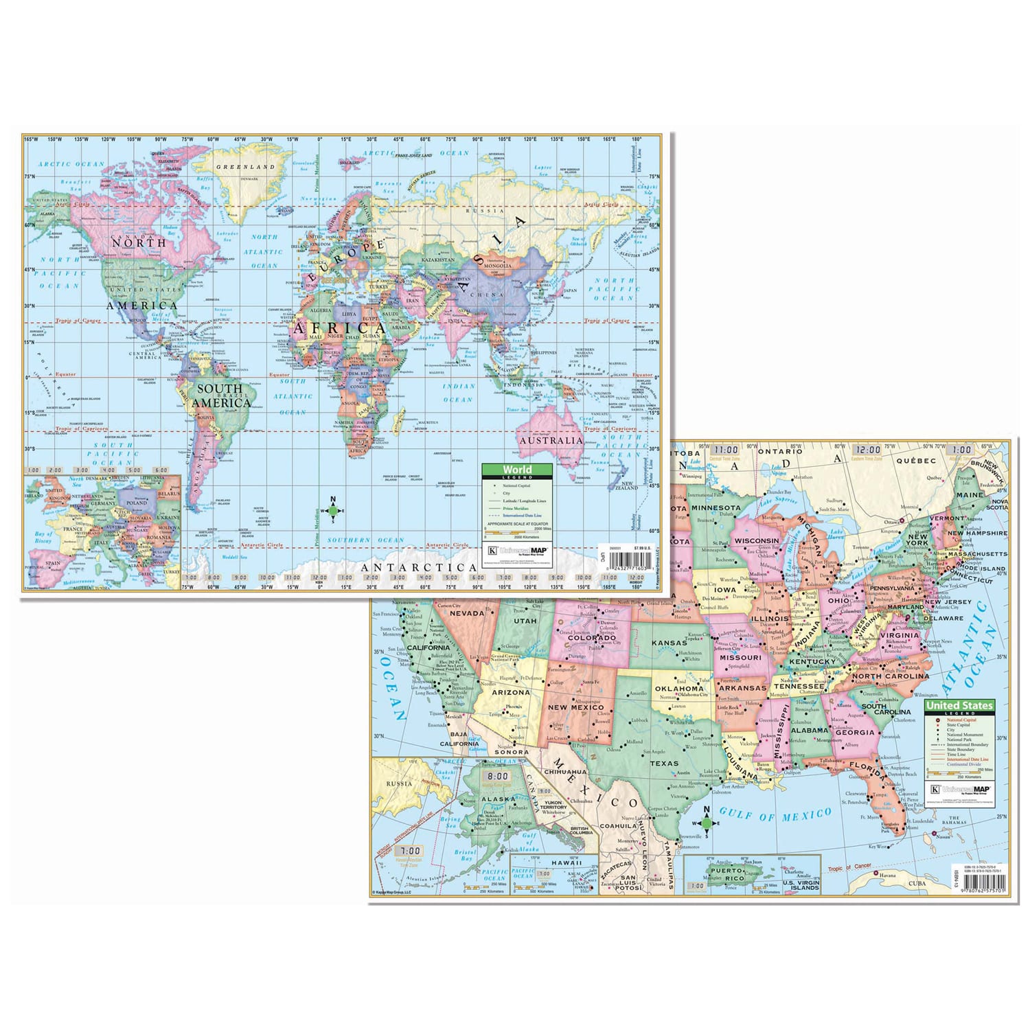
The US and World Primary deskpad map contains insets of Alaska, Hawaii, and Puerto Rico on the US side and Europe on the World side. Provides national capitals, major cities, latitude and longitude lines, Prime Meridian, International Date Line, state capitals, national monuments, national parks, international boundaries, time lines, and the continental Divide. These heavy-duty, child friendly maps are laminated with a 5 mm thick durable surface that is markable with a dry erase marker or water-soluble pen.
EARTH DAY SALE: Extra 10% off Orders $99+ w/code EARTH24 (details)