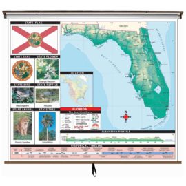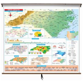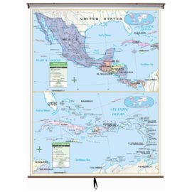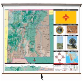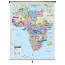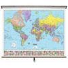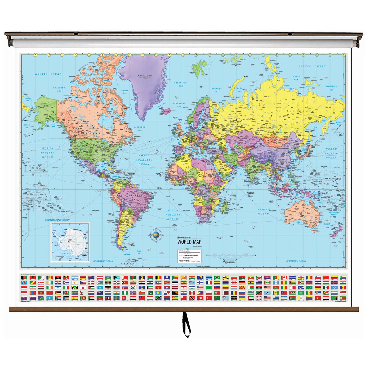
The World Advanced Political Classroom Wall Map features a wealth of valuable information, including continents, individual country boundaries, capitals, major cities and waterways, and the latest international name changes.
Created with legibility in mind, these brightly-colored maps highlight the political world, with detailed cartography, as well as the flags of most nations. Appropriate for grades 6-12, and satisfying state and national curriculum standards, the Advanced Political Classroom Wall Map is a must-have for every classroom.
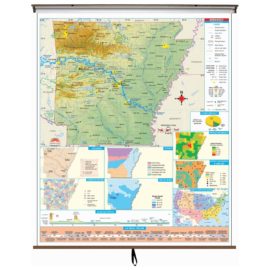
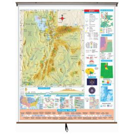
Wall map measures 64-in. x 54-in. , and is also available in a compact, 13-in. x 18-in. deskpad map-format. Mounted on roller.
This product is ideal for public, private, parochial, and home schools.