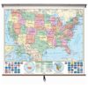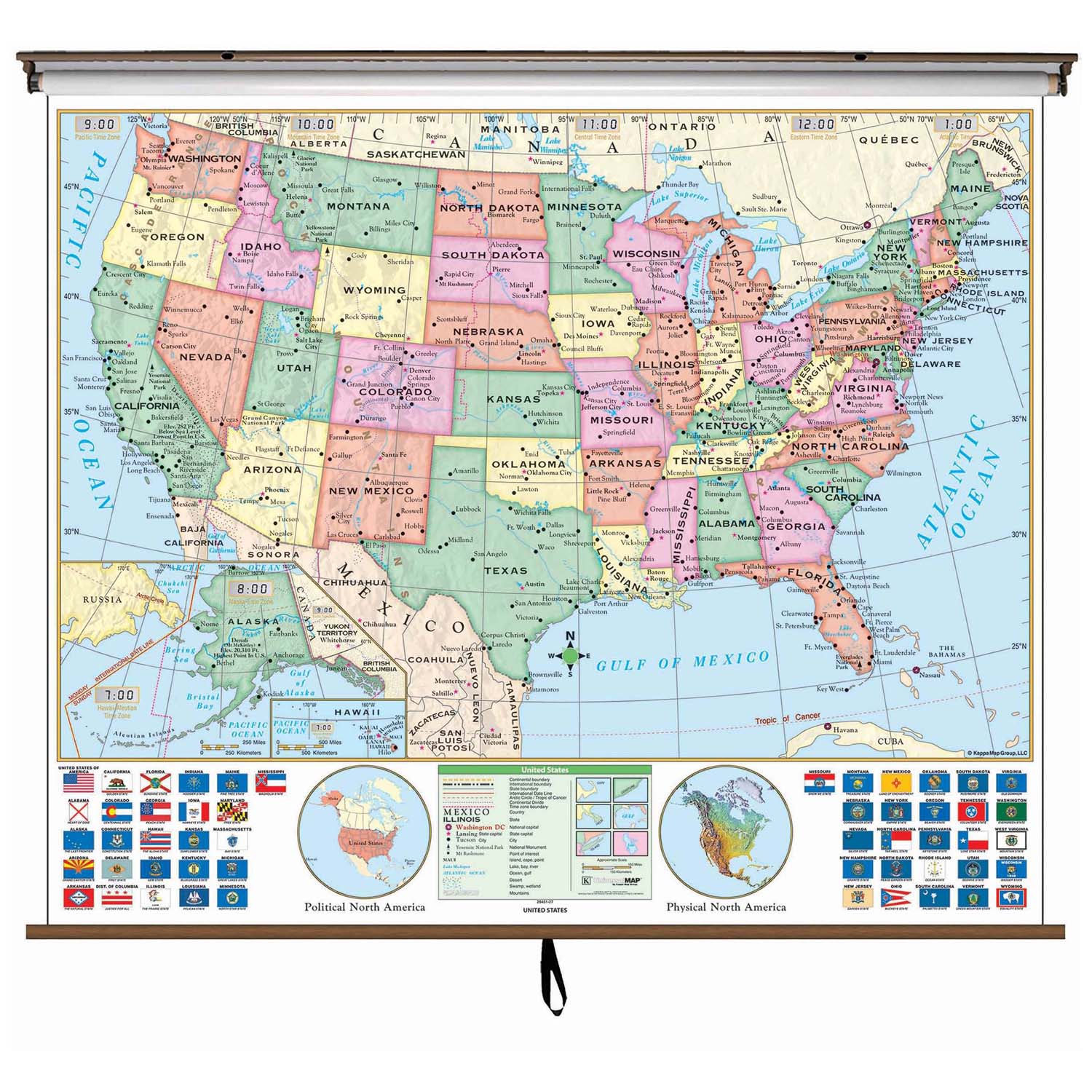
The US Essential Classroom Wall Map clearly identifies state capitals, time zones, and features insets of Alaska, Hawaii, and the physical and political North America, as well as all 50 state flags. Shaded relief highlights physical features of the continent.
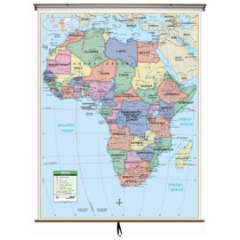
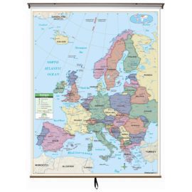
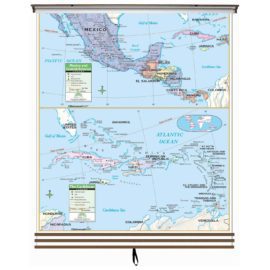
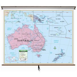
Wall map measures 54-in. x 69-in. and is mounted on roller; the Continent Essential Series features an enhanced legend and pictorial landform illustrations for intermediate level use. Also shows deserts & wetlands. The inset map locator illustrates the location of each continent in the world. Appropriate for grades 4-8.
This product is ideal for public, private, parochial, and home schools.