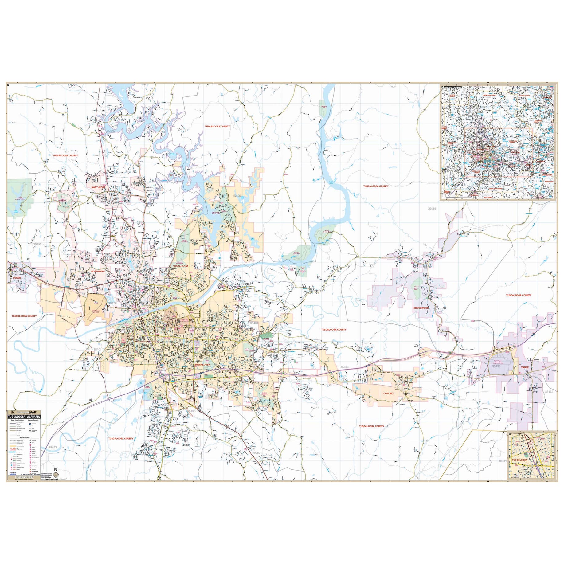
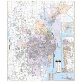
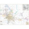
The Tuscaloosa Alabama Wall Map, with adjacent areas, measures 73-in. x 53-in. (6-ft. 1-in. W x 4-ft. 5-in. H) and features up-to-date cartography, with new streets and changes in complete street detail, is printed in color, with a markable and washable laminated surface, and offers a street index in a separate book-format.
The area of coverage includes all of the City of Tuscaloosa, with the following boundaries:
– North to Old Lock 15 Park
– South to the intersection of CR 95 and AL 69
– East to the Town of Vance
– West to the Town of Coker
The Tuscaloosa, AL Wall Map also includes an inset map of Downtown Tuscaloosa and a detailed Tuscaloosa County map.
Details and features include:
– AIRPORTS
– BLOCK NUMBERS
– CEMETERIES
– CITY LIMITS (color-coded)
– COMMUNITY NAMES
– EDUCATIONAL INSTITUTIONS
– GOLF & COUNTRY CLUBS
– GOVERNMENT BUILDINGS
– HOSPITALS
– POINTS OF INTEREST
– POST OFFICES
– RAILROADS
– RECREATIONAL PARKS
– SHOPPING CENTERS
– STREETS & HIGHWAYS
– WATER FEATURES
– ZIP CODE BOUNDARIES
Select the Tuscaloosa Alabama Wall Map for all your commercial and educational map needs.


Reviews
There are no reviews yet.